Home › School bus blog › School bus tracking in Bengaluru: a planning guide for transport heads
School bus tracking in Bengaluru: a planning guide for transport heads
Bengaluru traffic is not a surprise to anyone, yet every term it surprises school transport teams. This guide is about planning for it with data instead of hoping it will be better this year.
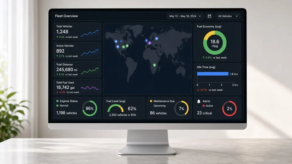
Related product: school bus GPS tracking in Bengaluru
A Bengaluru school bus can spend more time stopped at a junction than moving between stops. Families accept a long ride if it is predictable. What upsets them is a bus that is ten minutes early on Monday and twenty-five minutes late on Tuesday, with no way of knowing which day it will be. Live tracking does not make the traffic go away, but it gives the transport head two things that change how the year goes: honest information for parents in the moment, and a record of what really happened that can be used to plan the next term.
This guide walks through a practical planning cycle for a Bengaluru school, from mapping where students live to reviewing routes after the first monsoon.
Step 1: Map where your students actually live
Start with addresses, not with last year's routes. In a city that adds new apartment complexes every month along Sarjapur Road, Whitefield, Hennur, Thanisandra, Kanakapura Road and the far side of Electronic City, last year's routes are already out of date. Put every pickup point on the map. Most schools find two things when they do this: a cluster of new students in an area no route serves well, and an old route that has lost half its riders.
With Satcop's system, stops live on the transport dashboard. When a family moves, the transport manager edits the stop or moves the child to another bus, and the driver app shows the change.
Step 2: Decide what a reasonable ride time is
Agree a target maximum ride time for the youngest children and a separate one for older students. Many schools find that the target forces a decision they were avoiding: either the campus needs another bus for the far suburbs, or some families need to be told honestly that the school cannot serve their area well. Without a target, routes slowly grow until children spend well over an hour on the bus each way.
Step 3: Build routes around the pinch points
Every Bengaluru school has a few junctions that decide its timings: Silk Board, Marathahalli, Hebbal, KR Puram, Tin Factory, Iblur and the ORR stretches near the tech parks are the usual suspects, but yours may be a narrow road outside the campus gate. Plan routes so that a bus crosses each pinch point as few times as possible, and in the direction with less traffic at that hour. A route that serves two suburbs on opposite sides of the ORR is almost always slower than two shorter routes.
Step 4: Use the first month as a measurement period
For the first four weeks of the term, do not change routes unless something is clearly broken. Let the trip history build up. At the end of the month, compare each route's planned time with its actual times across different weekdays. The pattern usually tells a clear story: one route is consistently late after a particular stop, another is fine except on Mondays, a third is early every day and could start later.
The dashboard shows visited and missed stops for each trip as well, which helps separate a traffic problem from a driver who skips a stop to save time. See our route optimisation software for how stops, pickup order and trip history come together.
Step 5: Plan for both monsoons
Bengaluru gets rain from the southwest monsoon in the middle of the year and heavy showers again later in the year. A single heavy downpour can flood underpasses and turn a 40-minute route into a two-hour one. Prepare for this before the season, not on the day:
- Write short announcement messages in advance for late starts, early dispersal and route changes, so the transport manager only has to press send.
- Agree which low-lying roads each route avoids when it rains, and tell drivers in advance.
- Make sure every driver knows how and when to use the SOS in the driver app, and who on the admin side receives it.
On rain days the most useful thing parents have is the live map. When they can see the bus crawling along a flooded road, they stop calling the office to ask where it is.
Step 6: Set parent expectations about the app
Bengaluru parents are generally quick to adopt an app, and quick to judge it. A few rules help. Explain that the arrival alert comes when the bus is about 2 km from the stop, which is the signal to come down, not to start getting ready. Explain that the map refreshes every few seconds, and that a bus that seems to stand still is usually waiting at a signal. Tell parents how to apply for leave in the app, so the attendant does not wait at a stop for a child who is not coming. And give one contact for questions, so complaints do not go to the driver while he is driving.
Step 7: Close the loop on attendance
Large Bengaluru campuses often have several gates and staggered start times for different sections. An RFID card tap on the bus confirms who boarded; UHF readers at the gate confirm who walked in. Matching the two shows quickly whether any child who got on a bus did not reach class. We describe the design in our post on one attendance flow from bus to gate.
A term calendar for a Bengaluru transport team
| When | What to do |
|---|---|
| Six weeks before term | Collect addresses, map stops, set ride-time targets, draft routes. |
| Two weeks before | Allocate students to buses, issue RFID cards, train drivers and attendants, invite parents to the app. |
| Weeks 1 to 4 | Run routes as planned and let trip history build up. Fix only clear problems. |
| End of month 1 | Compare planned and actual times, check missed stops, rebalance routes. |
| Before each monsoon | Prepare announcement templates and rain-day route changes; refresh SOS training. |
| End of term | Review the term's history and plan next term's routes from it. |
What to measure, and what not to
A tracking system produces a lot of data, and it is easy to drown in it. For most Bengaluru schools, four numbers per route are enough: the average ride time for the first child picked up, how often the bus reaches school after the bell, how many stops were missed in the month, and how many calls the transport office received about that route. If those four improve from one term to the next, the plan is working. If one route keeps scoring badly on all four, it needs a redesign rather than small fixes.
Where Satcop fits
Satcop India supplies the 4G GPS tracker for each bus, the parent, driver and transport manager apps, the admin console, RFID and UHF attendance and optional cabin cameras and dashcams. We serve Bengaluru schools from our head office in Kharadi, Pune, and travel to your campus for demos, installation and training. Our Bengaluru school bus GPS tracking page has the details, and our Hyderabad and Chennai pages cover other southern metros.
Frequently asked questions
How often should a Bengaluru school re-plan its bus routes?
Do a full re-plan before each academic year and a smaller review after the first month of every term, using trip history to see which routes run long.
What should we do on heavy rain days?
Send a prepared announcement to parents, use agreed rain-day routes that avoid low-lying roads, and let parents follow the bus on the live map.
When do parents get the arrival alert?
The parent app sends an alert when the bus is about 2 km from the stop, and shows a live ETA.
Can we see whether a driver skipped a stop?
Yes. The transport dashboard shows visited and missed stops for each trip, and trip history keeps the record.
Do you install in Bengaluru?
Yes. We serve Bengaluru from our head office in Pune and travel to schools for demos, installation and training.
More guides
Want to see it on your buses?
Share your school, city and bus count. We will WhatsApp you back.
Let's talk.
We visit and demo in your city. Ask for a quote.
WhatsApp +91 91560 88090 · Head Office · Nyati Enthral, Kharadi, Pune 411014